CupixHomes Deprecation

As of November 2022, CupixHomes will no longer accept new sign-ups. While we have no plans to retire CupixHomes, please note that the solution is no longer in development and will only support existing users moving forward.

For any additional questions, please reach out to Cupix. Thank you.
AEC Pack

AEC Pack is Sunsetting.
Try Our New Product CupixWorks!

We are excited to invite AEC Pack users to try out CupixWorks, a new purpose-built product for architecture, engineering, and construction companies. For now, we will continue to support the AEC Pack and provide plenty of notice ahead of users no longer having access to the AEC Pack later this year.

Learn more about CupixWorks
  • Measure dimensions
  • Measure dimensions

    AEC PACK

    Measure dimensions

    Using only the Web Player, project stakeholders can measure 3D dimensions by picking points on the 360° photos with 1% or higher accuracy for every 65 ft (or 20 m) range.

  • Native BIM files are supported

    AEC PACK

    Native BIM files are supported

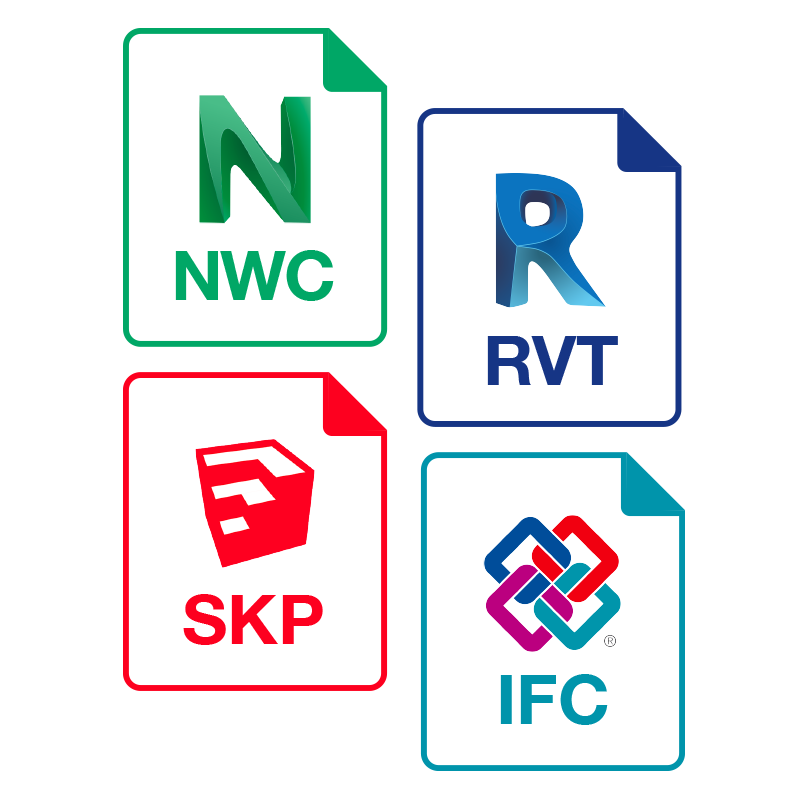
    You can upload native Revit, Navisworks, SketchUp, or IFC standard format files into the Asset Library and the online 3D BIM model viewer will be generated.

    • Native BIM files are supported
    • Compare as-built scenes with a live 3D BIM
  • Compare as-built scenes with a live 3D BIM

    AEC PACK

    Compare as-built scenes with a live 3D BIM

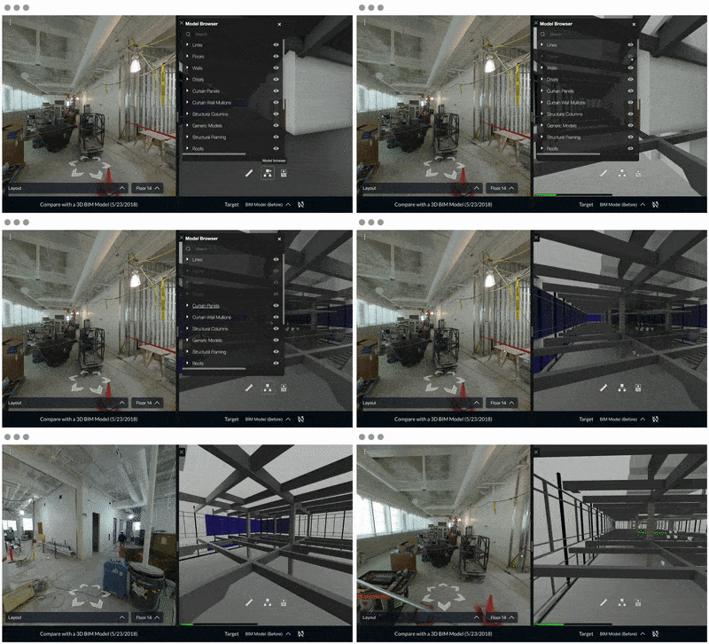
    Compare the 3D BIM with hundreds of location-aligned 360° photos while dynamically exploring properties of BIM elements, measuring as-designed dimensions and changing the visibility of layers in the Web Player.

  • 4D track changes

    AEC PACK

    4D track changes

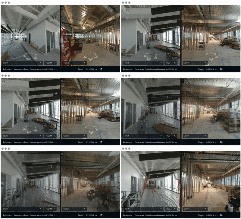
    Compare two 3D tours side-by-side and track changes of a construction project or make a chronological record of a site easily.

    • 4D track changes
    • Leverage GPS data for outdoor sites
  • Leverage GPS data for outdoor sites

    AEC PACK

    Leverage GPS data for outdoor sites

    Cupix works well both for indoor and outdoor scenes. If GPS metadata is available from the photos, we fine tune the geolocations and generate a KML file containing the processing result.

  • Automatic scaling using marker sheets
  • Automatic scaling using marker sheets

    AEC PACK

    Automatic scaling using marker sheets

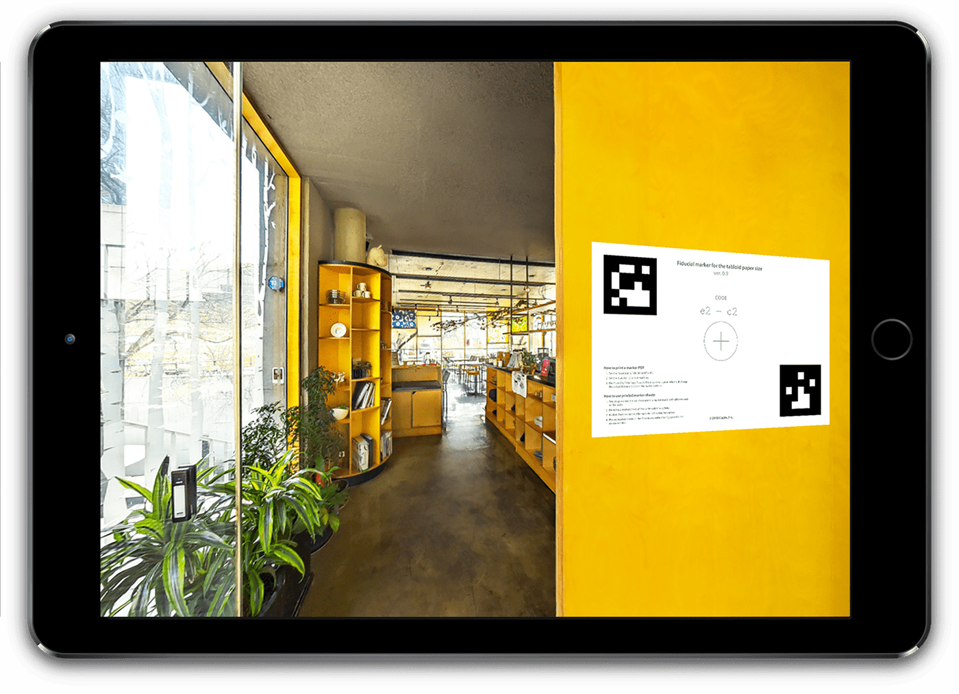
    By placing our marker sheets in the scene, you can automate the scaling step with the best accuracy.